Plan your route
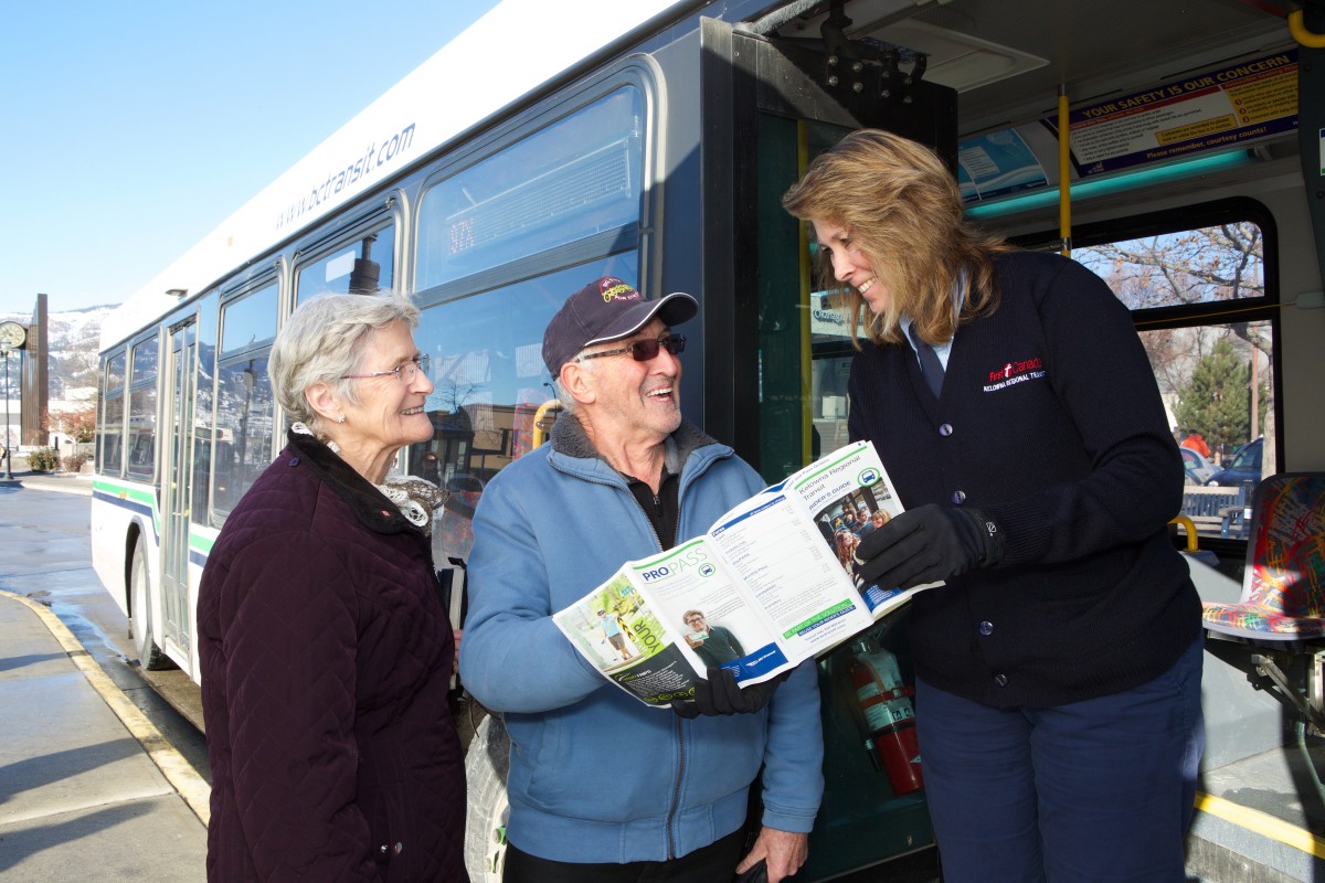
Follow these steps to help guide you through the Kelowna Regional Transit Rider’s Guide, which can be found on any Kelowna Regional Transit bus or where fare products are sold.
- Flip to the map section of the Rider’s Guide and locate your origin (starting point).
- Locate your destination.
- Identify the route number(s) that will get you from your point of origin to your destination (note that you might have to walk or cycle a distance to get to bus stops or from your final bus stop to your destination).
- Locate the route in the guide. For each route there are three different schedules listed: Monday to Friday,
- Saturday, and Sunday. Schedules are also divided in half by direction, for example “To Rutland” or “To Downtown”.
- The letters in circles that run across the top of the schedule indicate “timing points” for when the bus will be arriving or leaving a specific location. These timing points are also indicated on the route maps. There are multiple stops located between timing points so if you know which stop you’d like to get off at, you can roughly estimate your arrival time based on where the stop is located in proximity to the nearest timing point.
- Choose a timing point closest to your destination and look down the column to choose the time that you would like to arrive at your destination.
- Starting at the timing point nearest your destination, work backwards across the schedule row to your departure time (at the timing point closest to your origin). Remember, if your stop is in between timing points, you’ll have to do some estimating to determine your departure time.
- Plan to be at your starting bus stop 5 to 10 minutes before the scheduled bus departure time.
- To return back to your start point, repeat steps 6 to 8 for your return trip.
- If your transit trip requires more than one route, ask for a transfer slip. This grants you access to any bus in the system over a 90 minute period.
- Planning a multi-route trip is like planning a couple single route trips. Determine when you will arrive at the transfer point (exchange, route junction) from your origin, then determine the time the next route will depart from this area. You can then determine your estimated arrival time at your final destination.
Basic
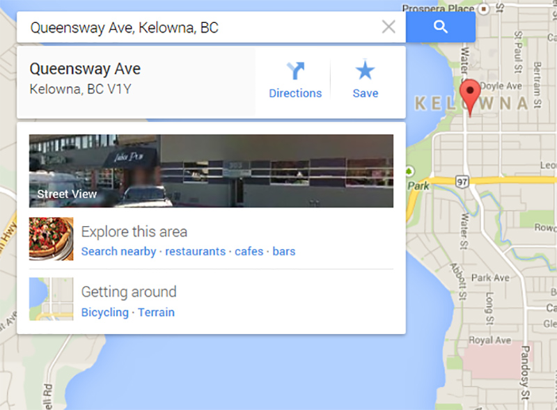
- Search your destination.
- Click the “Directions” button.
- Select the bus icon along the top.
- Enter your origin/starting point.
Google Maps will then show you the next available transit route, which bus routes you need to take, your total travel time, and the time you should depart. (Plan to be 5 minutes early)
Advanced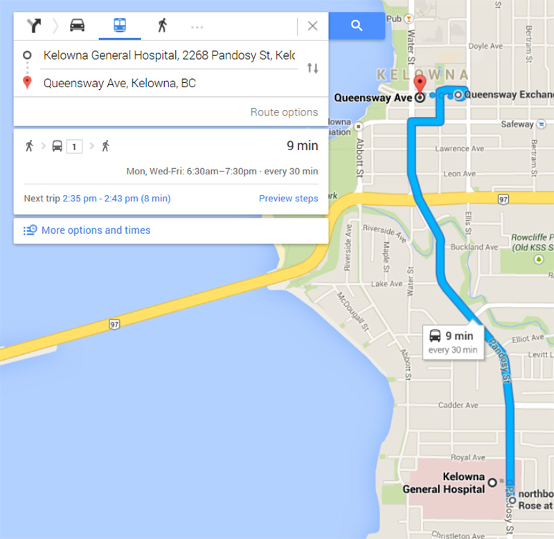
- Click the “More options and times” button. In this screen:
- You can select between: Leave now, Depart at, or Arrive by, and set the time and date.
- Under “Route Options”, you can select between: Best route, Fewer transfers, and Less walking
- Google Maps displays alternative trips you can select to best suit your timing needs.
- If required, you can print your custom transit plan either with or without a map.
Google Maps tips: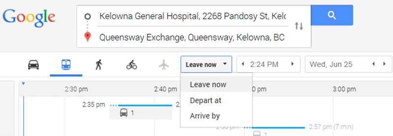
Zoom: Double click anywhere on the map, use the mouse wheel, or use the zoom toolbar on the bottom right side of the map.
Move: Hold the left mouse button on the map to drag it in any direction.
Street View: In the bottom right hand corner, click and drag the little man to where you would like to see a point of view on the map.
On your smartphone, Transit App can be a helpful tool for getting around on transit and planning your trips. Thousands of transit riders in our region rely on Transit App for their trips already. Download the app on the Google Play Store and the App Store.
For more information please visit http://transitapp.com.